

The Altamaha Rivers
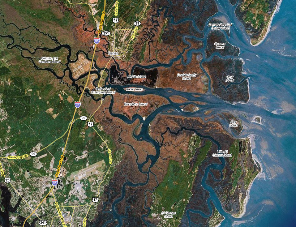
The Altamaha River, located on the Georgia coast, is a national conservation estuary with a rich diversity of animals and plants. This river is characterized by intensive tidal salt marshes and tidal creeks. The Altamaha is the second largest river in Georgia, with one of the largest watersheds on the Atlantic Seaboard.
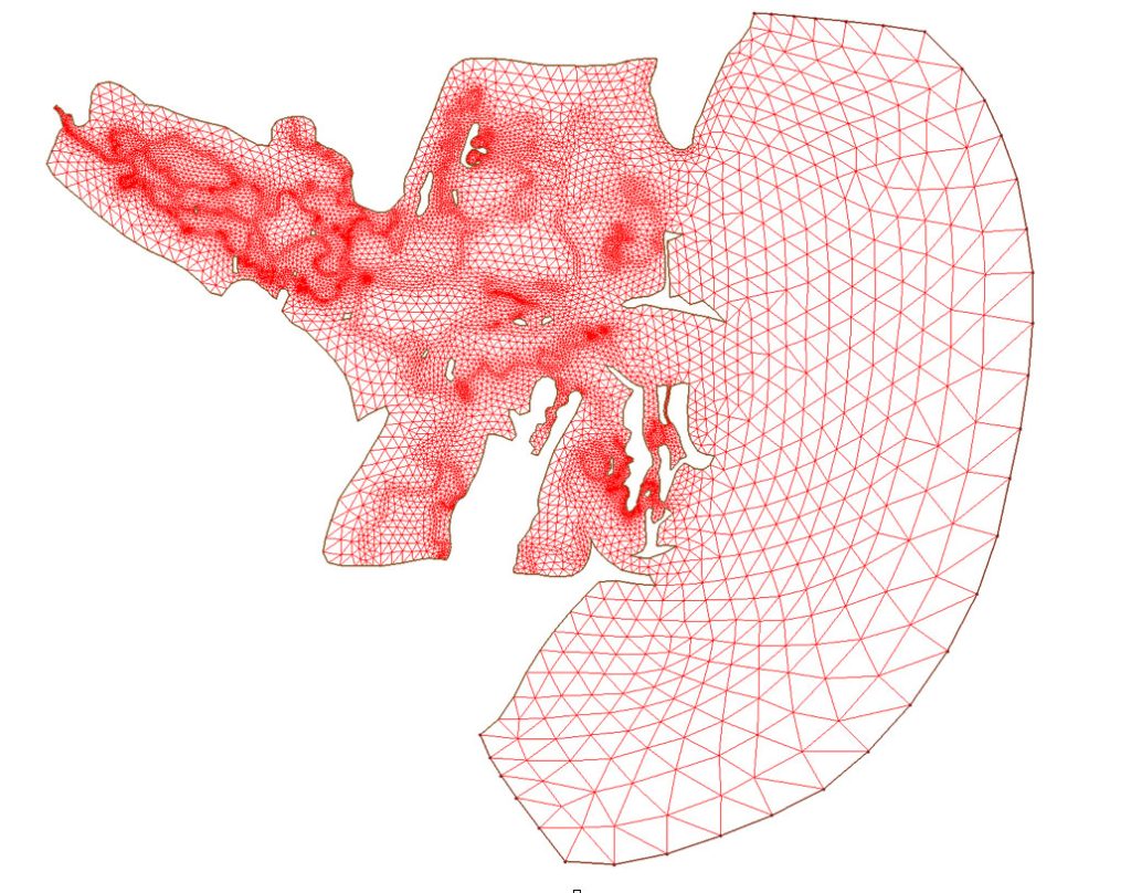
The Altamaha River FVCOM was developed in 2001. The computational domain covered almost the entire Altamaha River and intertidal salt marshes. This model could resolve the water flushing process over the estuarine-tidal creek-salt marsh complex. The horizontal resolution varied from 20 m in creeks to ~5-10 km over the inner shelf where the open boundary was. The model was driven by tidal forcing constructed by five major tidal constituents (three semidiurnal and two diurnal).


